
exploration / 2026-10-21
A storm’s spiral near Iceland reveals the North Atlantic’s changing weather systems
NASA’s October 21 image shows an October 14 cyclone, offering a view of how a former hurricane can become a different kind of storm.
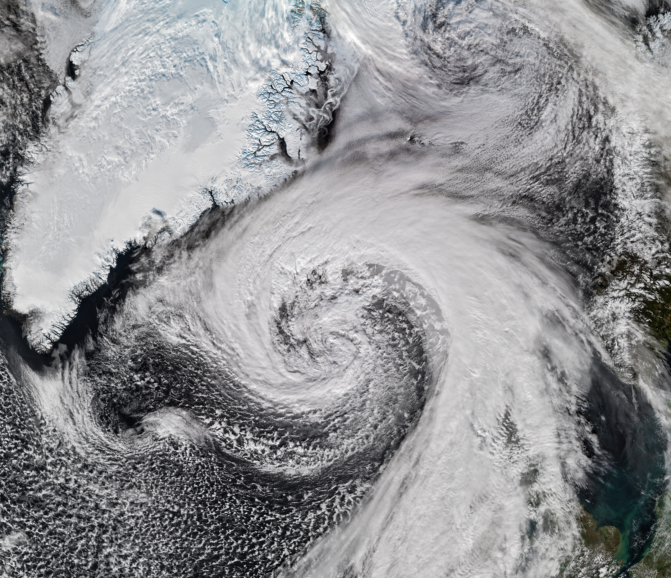
Seen from space, the clouds form a sweeping spiral beside Iceland, stretching across the North Atlantic. NASA’s October 21 Image of the Day documents a storm observed a week earlier, on October 14. It is a view of a past weather system, not a forecast or warning for today.
NASA identifies the system as an extratropical cyclone that developed from the remnants of Hurricane Isaias. The VIIRS instrument on NOAA-21 captured the scene as the storm brushed past Iceland. The transformation shows how a weather system’s history can extend far beyond the place where it first became familiar.
Extratropical cyclones form outside the tropics and can develop around strong contrasts between air masses. Their asymmetrical cloud patterns can differ from the more compact structure people associate with hurricanes. A storm’s change in classification does not mean its winds and other effects have become harmless.
NOAA explains that bombogenesis describes rapid cyclone intensification measured through a pressure drop over 24 hours. The threshold depends on latitude; at 60 degrees it is at least 24 hectopascals. The term refers to a physical process, rather than simply a dramatic-looking satellite image.
The October 14 scene makes that process easier to imagine, but an image alone does not establish a local pressure record or tell a traveller which route is safe. Those questions require measurements and the relevant weather authorities. We have not treated reports of a possible record as a confirmed result.
What the view offers is a sense of connection across the ocean. Clouds near an island can carry the history of a system that crossed coastlines and changed form along the way. Looking carefully at the spiral is an invitation to understand those movements, with dates and measurements alongside the spectacle.
Featured image: the actual NOAA-21 VIIRS observation from October 14, 2026, prepared by NASA Earth Observatory. The article was published October 21; the image does not depict current conditions.
Take action
Sources
- NASA Earth Observatory — Iceland cyclone image and account, October 21, 2026 ↗
- NOAA — explanation of bombogenesis, updated September 23, 2026 ↗
Original reporting synthesis by The Raines Foundation, based on the sources above.